Forums » GAMMA Processing » DEM generation »
ERS 1/2 DInSAR - Persistent streaks across the scene, and extreme height values in image results
Added by Uchenna Nkogho 5 months ago
Hello everyone,
I’m new to the forum and would appreciate some guidance on a problem I’ve been troubleshooting for several weeks.
I’m processing an ERS‑1/2 repeat‑pass pair for DInSAR DEM generation using GAMMA. My workflow is split into three stages in their individual scripts:
(1) Co‑registration → (2) InSAR + coherence → (3) DInSAR (phase simulation, differential interferogram, unwrapping, height conversion) and also includes a parameter file
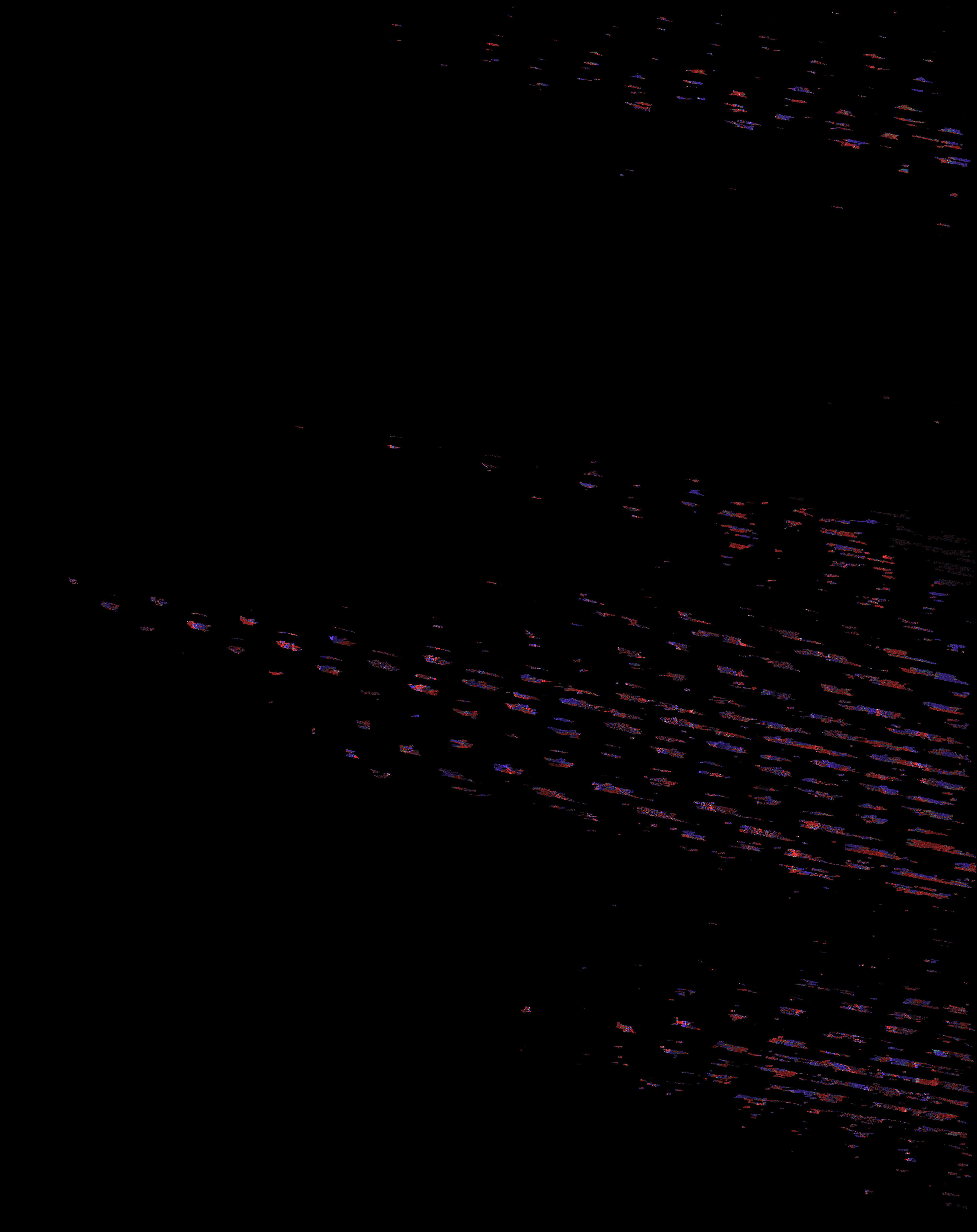
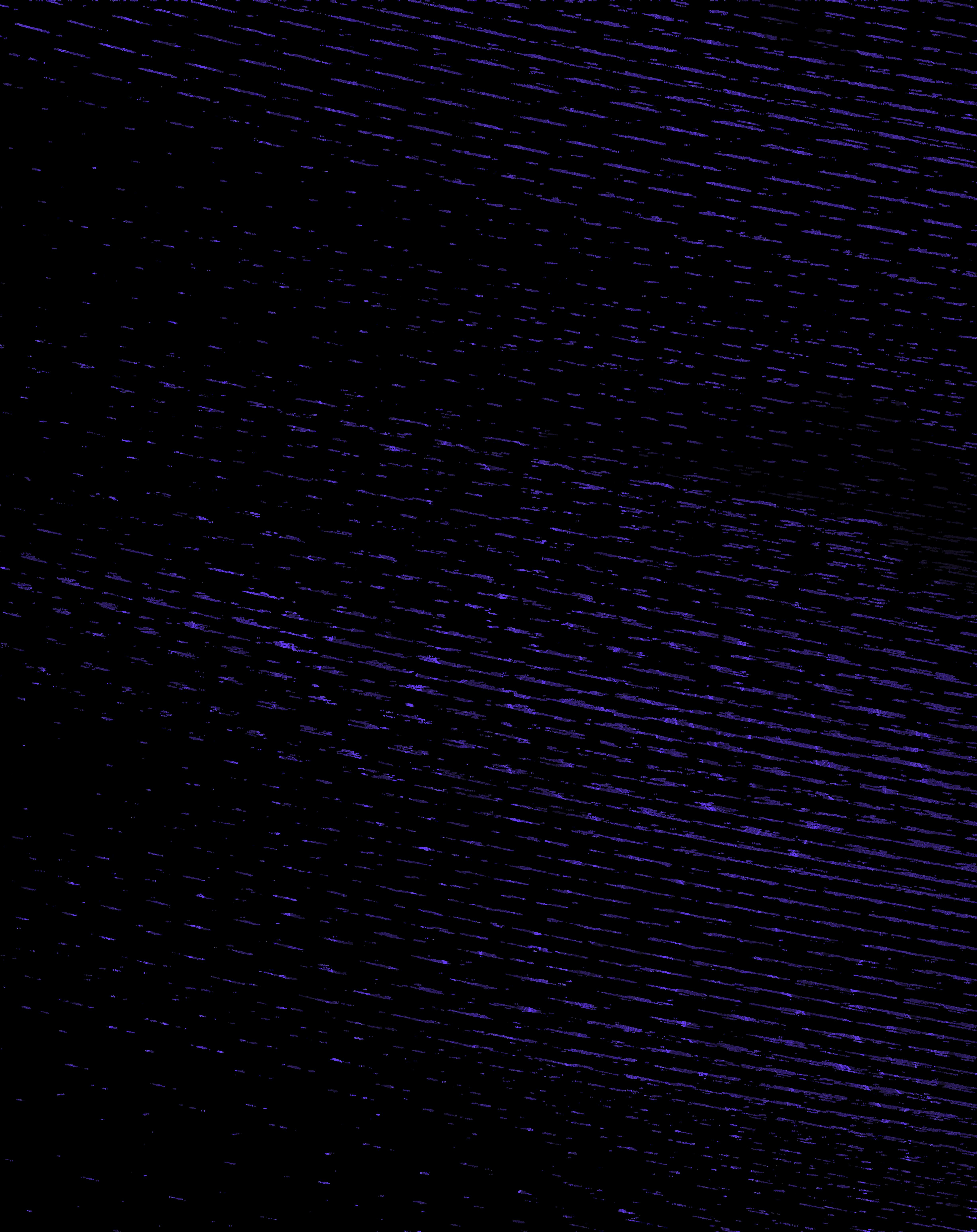
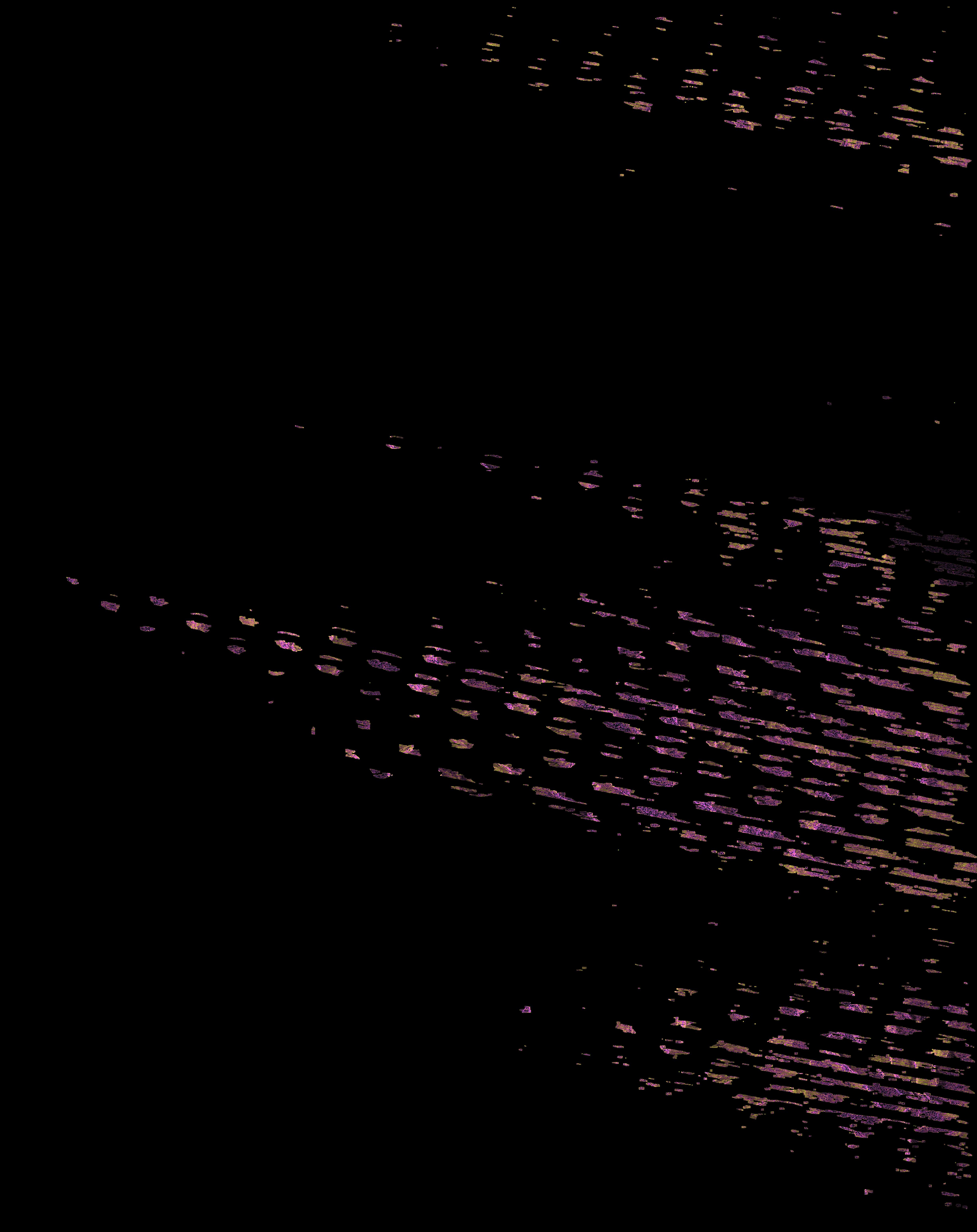
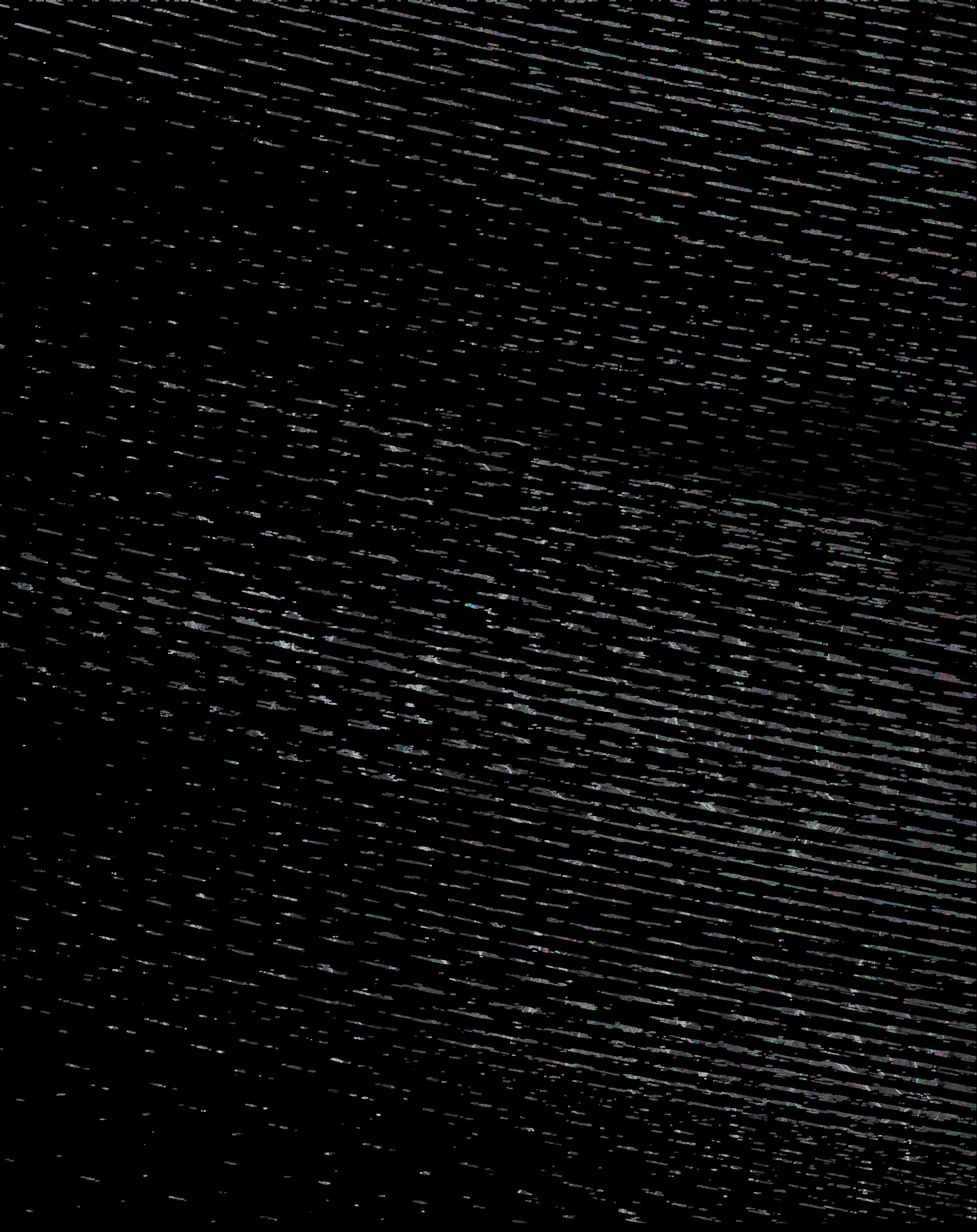
The core issue, despite refining my scripts and ensuring consistent parameters, I still get: shifted or sheared fringes, streaks across the scene, and extreme height values. The distortions appear immediately after interferogram generation, which suggests a geometry mismatch early in the chain as seen in some of the attachments. I’ve verified that the master and slave SLCs load correctly, confirmed multilooking factors (1 × 5) and MLI dimensions, ensured DEM segmentation
and LUT generation are consistent, verified that the simulated phase (ph_sim) and DEM‑based products have the correct dimensions and checked the entire pipeline of coreg, InSAR, and DInSAR for clarity.
Where I suspect the problem lies, I noticed that I need two different offset files for my InSAR and DInSAR as the DInSAR needs to create an offset from the resampled slave image. My scripts originally mixed these two offset files at different stages. I have now corrected the logic so that the resampled offset file should be used consistently, but the distortions still persist.
I would appreciate advice on any of the following:- Best practice for handling offset refinement in ERS workflows (especially SLC → RSLC transitions),
- How to confirm that the refined offset file truly matches the geometry of the resampled slave.
- Whether ERS data requires any special handling in GAMMA beyond the standard SLC_interp → offset_pwr → offset_fit → offset_add sequence.
- Any known pitfalls when combining DEM simulation, SLC_diff_intf, and phase‑to‑height conversion for ERS.
If anyone has encountered similar geometry‑related distortions or has a minimal working ERS DInSAR example, I’d be grateful for any pointers.
Thank you in advance for your help.
Uchenna
| diff_int_sm_unw_mcf.jpg (924 KB) diff_int_sm_unw_mcf.jpg | |||
| phase_to_height_sensitivity.jpg (1.61 MB) phase_to_height_sensitivity.jpg | |||
| diff_int_smcc.jpg (1.18 MB) diff_int_smcc.jpg | |||
| diff_int.jpg (2.5 MB) diff_int.jpg |